Camas-Washougal logo tag

Hot takes on cool hikes around Southwest Washington

Local hikes to satisfy your soul without searing your skin

By
timestamp icon
category icon Clark County, Life, Outdoors
Hot out there, huh?

Recently I took myself on a sunny early-evening stroll along one of Clark County’s favorite paved pedestrian pathways — and nearly melted my face off. Even at 7 p.m., everything felt hot as blazes: the sun, the air, the pavement. And, ultimately, me.

According to the Washington State Climate Office at the University of Washington, temperatures are expected to be warmer and drier than normal for the rest of the summer, all across the state and right here in Southwest Washington.

It’s ironic that the Pacific Northwest is infamous for its gray, cool, rainy season, which can persist from late fall well into early summer. That can be a lot to endure, but then we get our reward — or perhaps comeuppance for complaining — with months of crystal-clear skies and brilliant, uninterrupted sunshine.

If you’re eager to stretch your legs and explore our beautiful local landscape without sizzling under the intense summertime sun, here are some hot takes on shady trails for you. Even seasoned Clark County explorers might not have discovered these generally out-of-the-way oases, so detailed driving and parking directions are included.

All of these sweet spots invite summertime rambles that will satisfy the soul — without leaving the body feeling burned.

Big forest

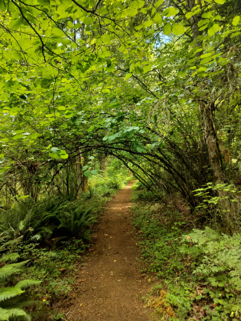
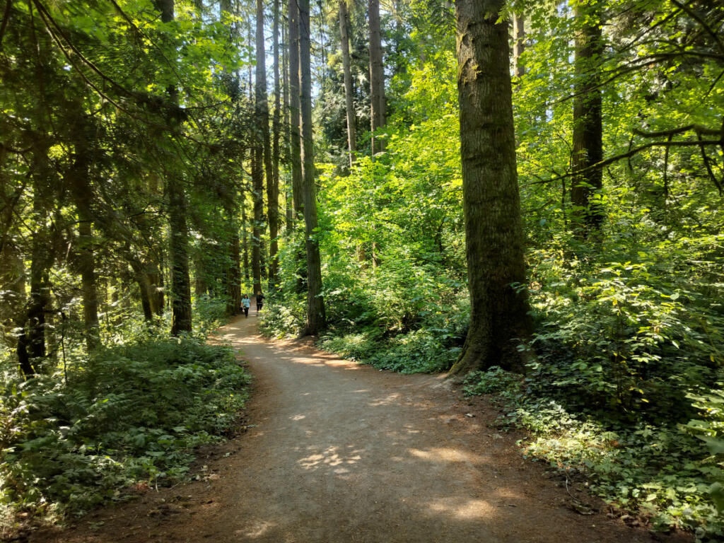
Green Mountain is a lush, largely undiscovered natural area that looms about 500 feet above new and growing neighborhoods on Camas’ northern tip. Silence and serenity envelop you as you follow the trail up into thick woods, where you’re unlikely to run into anyone except neighborhood dog walkers or joggers. Yet you’re never far from civilization.

The Green Mountain Natural Area is an assemblage of adjacent parcels: on the west, 115 acres that belong to the city of Camas; on the east, 360 acres in Clark County’s set-aside Legacy Lands program; and another 80 acres to the southeast that are Camas School District property.

All of those connected parcels are undeveloped, deeply woodsy and crisscrossed by modest hiking trails.

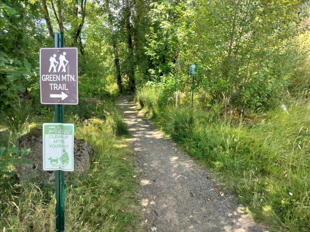
Idyllic and quite sprawling, Green Mountain is nonetheless hard to access without knowing where you’re going first. My GPS and hiking app (AllTrails) suggested a couple of different points of entry, but neither was obvious upon arrival, so I racked up a bit of unwanted extra mileage wandering back and forth between a couple of semi-camouflaged trailheads.

Here’s how to avoid that experience.

Your best parking option at Green Mountain is street parking on tiny 93rd Lane, across from a private homeowner association swimming pool (alongside Green Mountain Neighborhood Park on North Boxwood Street). Nearly all the other streets and parking areas in the neighborhood are carefully marked with “no parking” and “no trail parking” signs.

Sounds like a pain, but don’t let it stop you, because the trail is peaceful and rewarding. Walk the driveway past the pool and up onto the trail, which veers left. You’ll pass a tall retaining wall before starting to hit switchbacks uphill.

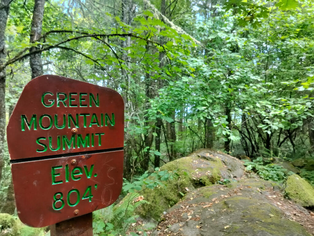
It’s about 1.25 moderately challenging, sweetly shady miles to the summit of Green Mountain, where a couple of signposts provide reassurance that you really have arrived. You might not realize it otherwise, because foliage remains just as thick on top as it is at the base.

There’s no vista to mark your conquest of Green Mountain. You might as well celebrate the signpost.

A less-steep but longer approach to Green Mountain is possible, but first you’ve got to squeeze into a meager, easily missable dead-end parking site (with room for two or three cars at most) carved into the forest about 1.5 miles to the east on Northeast 28th Street (midway between 232nd and 242nd avenues). Seek out this obscure trailhead only if you’re courageous about tight parking and motivated to explore the big forest just east of the hilltop more deeply.

“No mind blowing views,” one trail visitor recently posted, “just a great place to walk in a forest.”

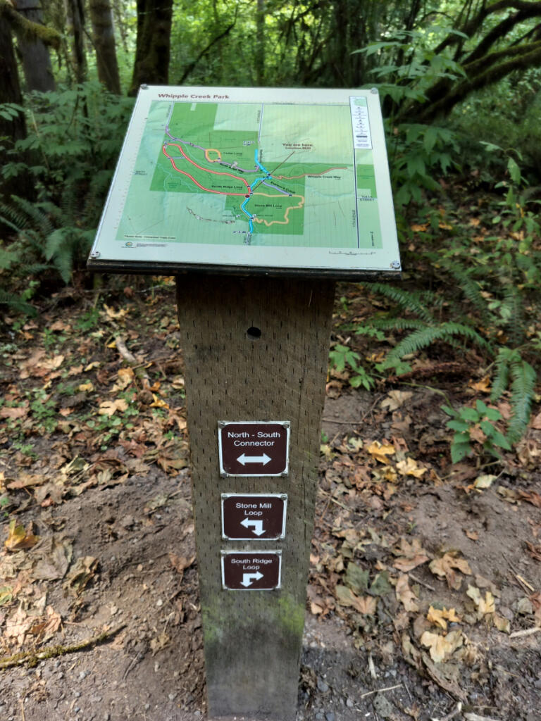
(Similar magic nearby: The trail network at Lacamas Regional Park and Round Lake is extensive, complicated and deeply woodsy. Park at Round Lake or off Northeast Third Avenue. Similar magic on the other side of the county: 300-acre Whipple Creek Regional Park, just west of the Clark County Fairgrounds off 179th Street at 21st Avenue, has been described by the Washington Trails Association as “A deep forest experience without the drive.”)

Little forest

On my way over to Green Mountain in Camas, I paused for a quick ramble through a notable eastside Vancouver green space that’s rather tiny, yet teeming with tall trees.

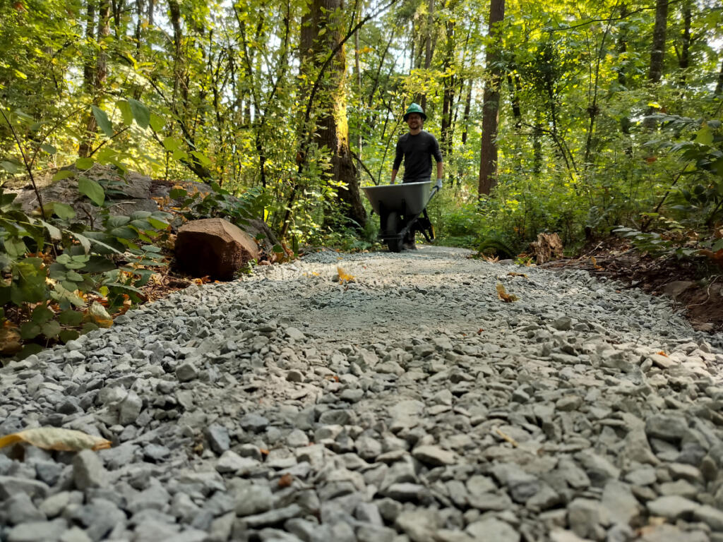
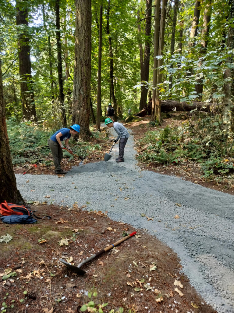
Behrens Woods Natural Area is all of 2.34 acres in size, but over the past few years, dedicated neighborhood volunteers have worked with the city, the Washington Trails Association and Columbia Land Trust to lavish it with loving care. They laid out a gravel trail that conforms to U.S. Forest Service accessibility standards. They removed over 325 cubic yards of non-native species and planted more than 330 native plants.

All of this has earned Columbia Land Trust’s “Backyard Habitat Gold” certification, indicating an advanced level of careful stewardship.

Neighbors, nonprofits and city officials did that work because this little forest is always a popular draw for nearby residents, who used to cut social trails all over the place. Formalizing the trail system here channels all those meandering feet and lets the forest thrive while also encouraging neighbors to enjoy a little withdrawal from city life.

That approach is part of a city program called NatureSpaces, aiming to promote forest health in certain parks and undeveloped natural areas.

“Healthy urban forests like this are increasingly rare, which makes places like Behrens Woods especially valuable,” Vancouver volunteer coordinator Hailey Heath said in a recent announcement from the city.

Kudos to neighbors Karen and Fred Garmine for leading the grassroots effort.

Behrens Woods is at the corner of Bella Vista Road and Bella Vista Place in southeast Vancouver. On-street parking is all it’s got.

‘Forest primeval’

A couple of set-aside forests in central Clark County deserve special attention: the Salmon-Morgan Creeks Natural Area and the Lauretta Norene and Groth Forest Preserve.

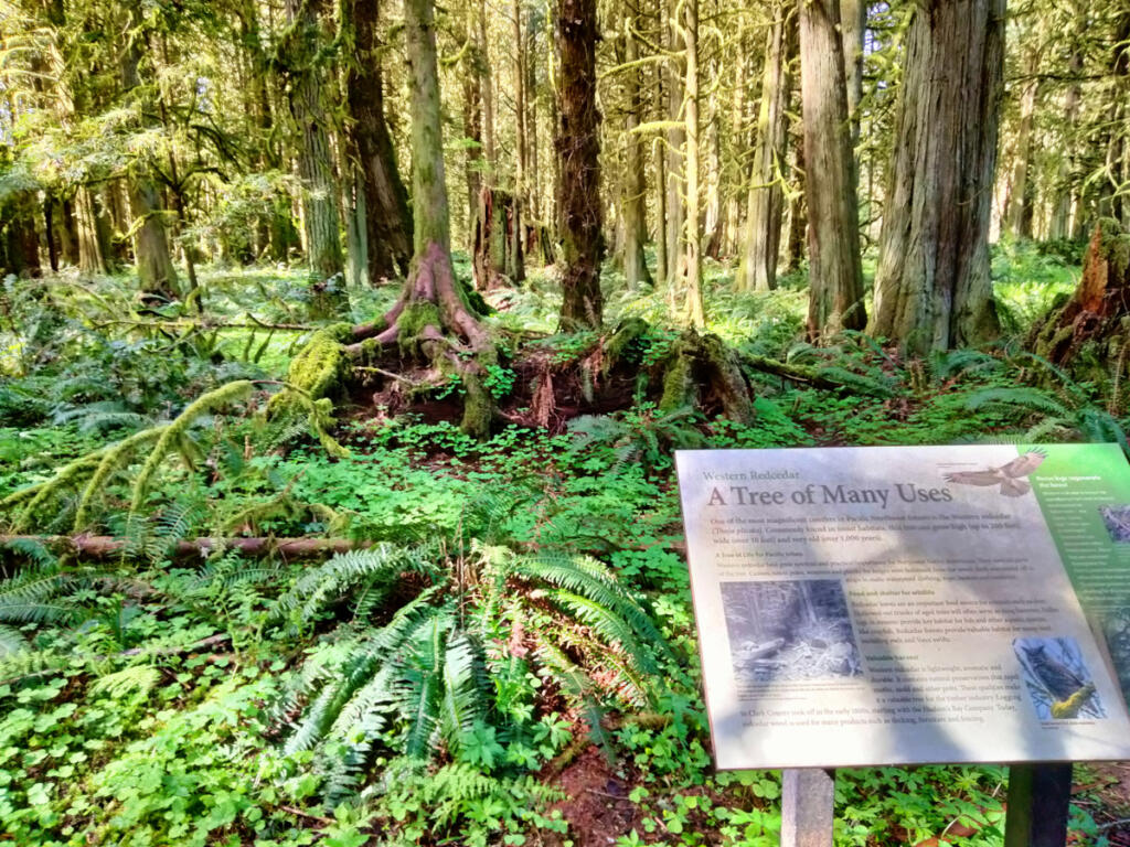
They are examples of what the “forest primeval” might have felt like in Clark County before settlers turned our central flatlands into farmland. Because of some long-ago logging and other human impacts, they don’t quite qualify as old-growth forests but can accurately be called second growth.

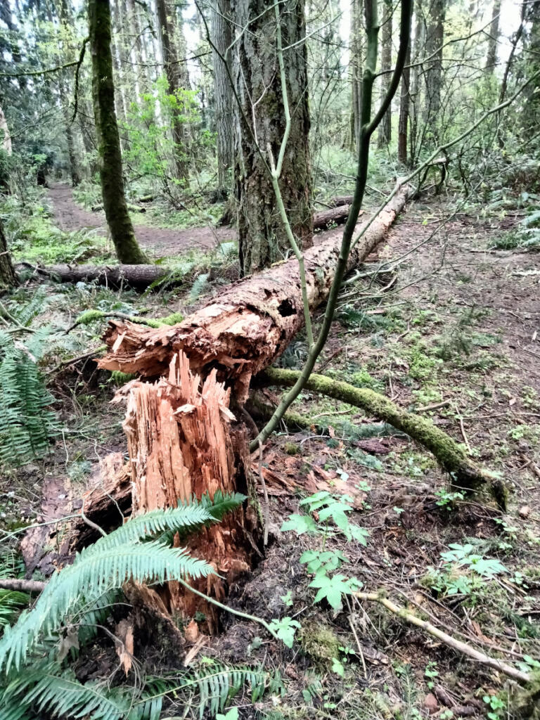
Whatever you call them, each site is a compact patch of deep woods, offering easy (occasionally muddy) hiking among trees at every age and stage, from new sprouts to grand giants and decaying logs that help keep forest life cycling along. These sites are deemed natural areas, not neighborhood parks, but both are tucked into central Clark County neighborhoods on dead-end roads.

The obvious approach to the Lauretta Norene and Groth Forest Preserve is along dead-end Northeast 149th Street off state Highway 503 (Northeast 117th Avenue) in Brush Prairie. There’s a convenient parking area here, but you’ll have to walk from gate to gate through the fenced Lucky Dog Park to reach the forest.

If you’d rather not deal with excited off-leash pooches, there’s another approach, from the south: Park on dead-end Northeast 97th Avenue, just past Laurin Middle School. From there, a pleasant, flat path leads across a meadow and into the woods (or onto a perimeter trail around them).

The 84-acre forest here combines two family donations, supplemented by county conservation-land purchases, and signs at the different entrances tell separate stories (without connecting them). At the northeast entrance, we’re told that the Lauretta Norene Forest Preserve was created in 1992 by a local schoolteacher who loved exploring the forest with her students (and named it in honor of her mother). At the southern entrance, we’re told that the Groth Nature Area was created in 1997 by members of the Groth and Trexel families. Today’s forest preserve combines both sites by linking northern and southern hiking loops.

About 5 miles to the northeast of there is the Salmon-Morgan Creeks Natural Area, which is similar in size (81 acres) and style (quiet, natural, mostly unknown except by nearby neighbors).

Although it’s tucked into an upscale neighborhood, Salmon-Morgan feels wilder and more remote than the Norene/Groth site. It features several interlocking, looping trails and some steep slopes along the creeks that converge here.

To reach Salmon-Morgan, take Northeast 152nd Avenue northbound and turn right at the T onto 181st Street. Follow 181st, then go left on 159th Avenue, right on 183rd Street and a final left on dead-end 161st Avenue. You’ll find a pair of information kiosks and maps, one of which is a guide to Salmon-Morgan’s most noteworthy trees (complete with trunk diameters in inches).

Salmon-Morgan offers two loops and a connecting trail, adding up to about 2 miles of hiking.

Forest with pavement

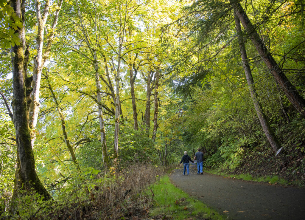
Want to keep your footing as easy, safe and predictable as possible? You can’t beat the west end of Vancouver’s Burnt Bridge Creek Greenway Trail, which is paved and protected from the sun by a towering canopy of south- side trees.

There’s slightly steep on-street parking on Bernie Drive right off Fruit Valley — but for a quieter, more peaceful approach, try parking on the shoulder of dead-end Alki Road off the bottom of Hazel Dell Avenue. There you’ll find a little pedestrian bridge carrying the trail westward. From here, it’s 1.5 miles to the Fruit Valley trailhead (aka Stewart Glen) or, if you go round-trip, 3 miles of sweet, easy hiking through scenic, shady greenery.

Stay cool and hike on!